White Rocks Cliffs Trail
White Rocks Cliffs Trail
Green Mountain National Forest
Caring for the Land and Serving People
| Length: 3.2 miles round trip | Feature: Cliffs, Views |
| Max elevation change: 1250 feet | USGS maps: Wallingford Quad |
| Amount of use: Moderate – Heavy | Hiking level: Moderate – Difficult |
| Average hike time: 2 ¾ – 3 ¼ hours round trip |
Trail Description:
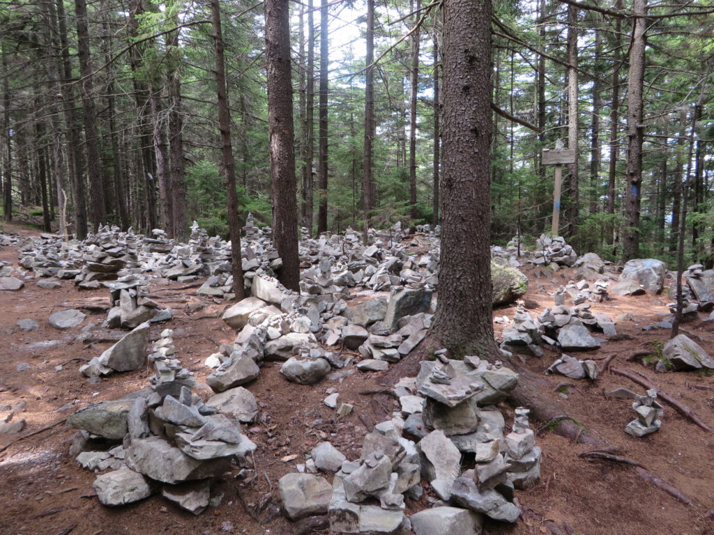
The trailhead is found at the far end of the parking lot and is marked by blue blazes. The first part of the hike follows the Keewaydin Trail and winds around the northeastern edge of the cliff area. About 0.2 miles into the trail, a waterfall on the Bully Brook can be seen on the left. The Appalachian/Long Trail junction is reached at 0.4 miles from the parking lot. At the junction, turn south (right) following the white blazes past the Greenwall Shelter spur trail, which is at about 1.0 mile. Continue south to a stone cairn at 1.4 miles, which identifies the spur trail on the right that leads to White Rocks Cliffs. The spur trail descends 0.2
miles to several beautiful vistas of the Route 7 valley, the Taconic Mountains, and the Adirondack
Mountains in the distance. Please practice Leave No Trace ethics, such as carry out what you carry in.
– During the last Ice Age, glaciers scoured and exposed the Cheshire quartzite that makes up White Rocks Cliffs. Since that time, the White Rocks area has had a long history of human use. Native Americans quarried stone from the site for tools and in the 1850s European settlers cleared the land for grazing. As the abandoned fields reverted to forest during this century, logging came to the area. Today, the White Rocks Cliffs have been set-aside as part of a National Recreation Area for backcountry recreation and to insure a continuous wildlife habitat.
Directions:
From Route 7 in Wallingford, follow Route 140 east 2.1 miles to the junction of Sugar Hill Road on the right;
From Route 103 in East Wallingford, follow Route 140 west approximately 4.0 miles to the junction of Sugar Hill Road on the left; Follow Sugar Hill Road for about 200 feet to the sign for the Green Mountain National Forest-White Rocks Picnic Area and turn right onto Forest Road 52. Follow FR 52 for 0.5 miles to the end.
Area Services:
Food and Services: Wallingford
For all Emergencies: Call 911
911 Information: The trailhead is in the Town of Wallingford, off Route 140 and Forest Road 52.
U.S. Department of Agriculture
Forest Service
Green Mountain & Finger Lakes National Forests
231 North Main Street, Rutland, VT 05701
(802) 747-6700 Phone (802) 747-6766 FAX Website: www.fs.usda.gov/greenmountain
The USDA is an equal opportunity provider and employer.
Recreational Opportunity Guide White Rocks Cliffs Trail
For More Information:
Manchester Ranger District, 2538 Depot St. (Rte 11/30), Manchester Center, VT 05255, (802) 362-2307
This Recreation Guide is Available in Large Print at Forest Service Information Centers